
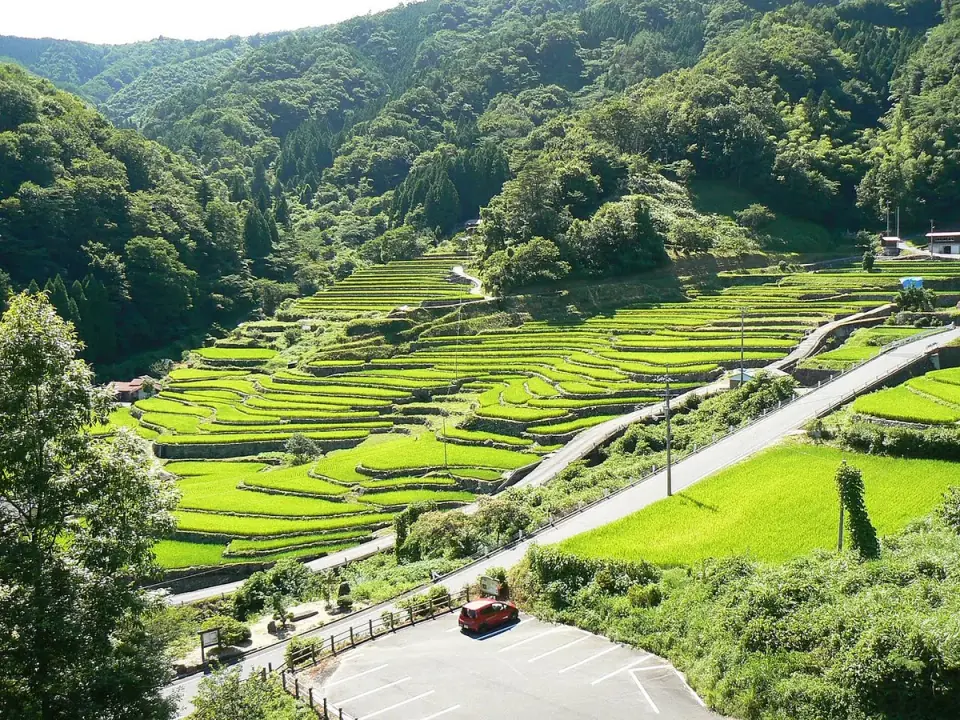
1Oidani terraced rice fields
Small rice terraces edged with stone walls climb the hills of Shiratani, Kakinoki. Enjoy seasonal rice crops and mountain-village scenery.
Yoshika TownExplore the source of the Takatsu River, stone-walled rice terraces and the mountains around Mount Azouji in Yoshika. Combine Muikaichi's hot springs and meals, the roadside station in Kakinoki and rural stays, with advice on nearby visits and the town's geography.
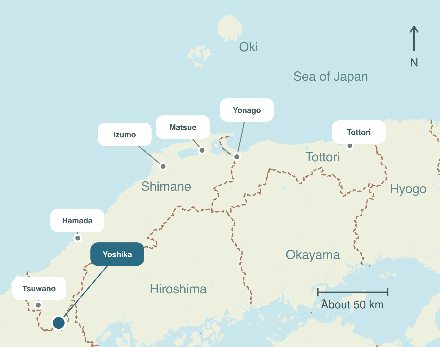
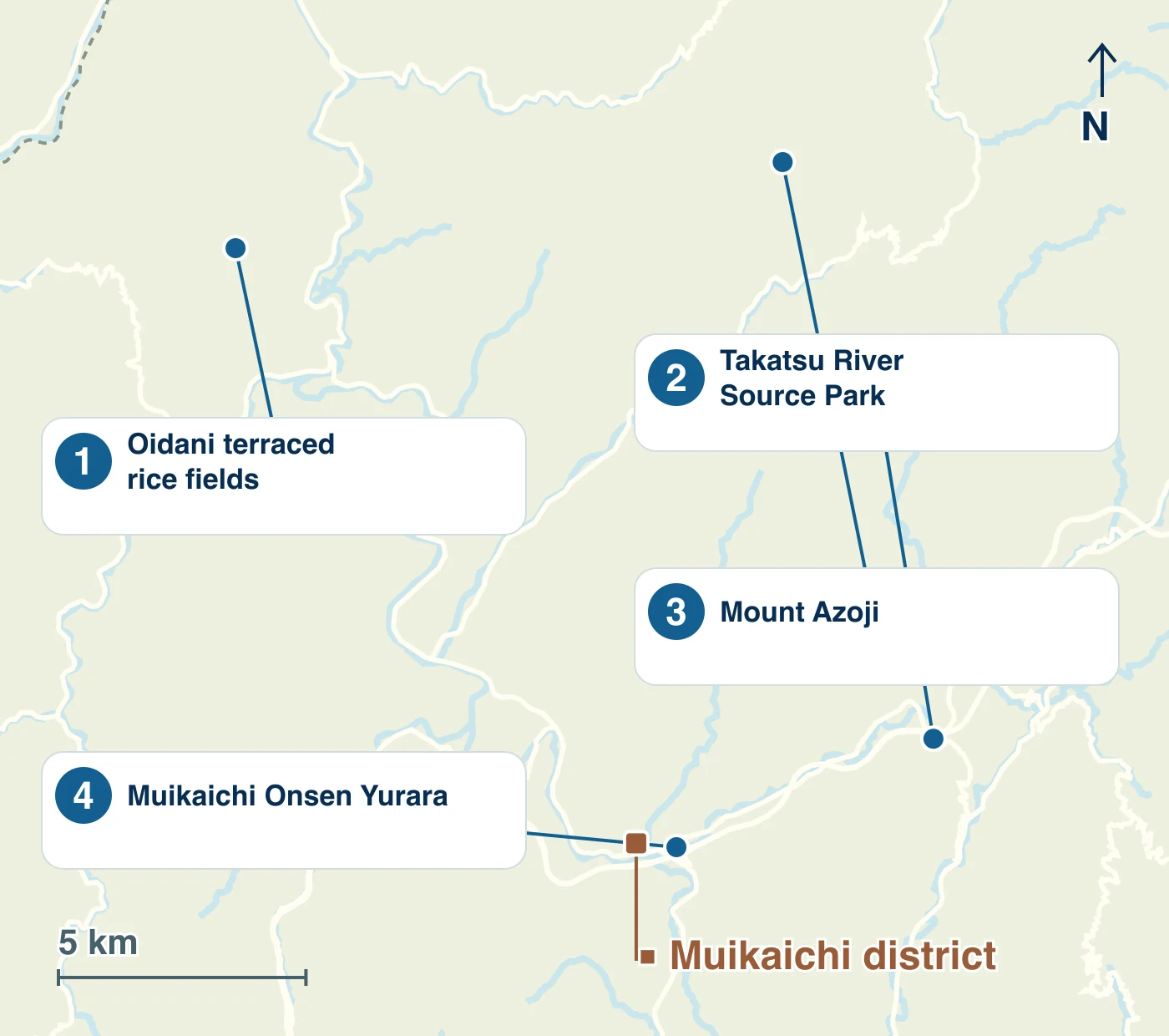
Explore Muikaichi's hot spring, the river-source park and Oidani terraces on the Kakinoki side by car or similar transport. Treat Mount Azoji as a separate hiking itinerary. Muikaichi Station in the town is a bus stop, not a railway station.
Small rice terraces edged with stone walls climb the hills of Shiratani, Kakinoki. Enjoy seasonal rice crops and mountain-village scenery.
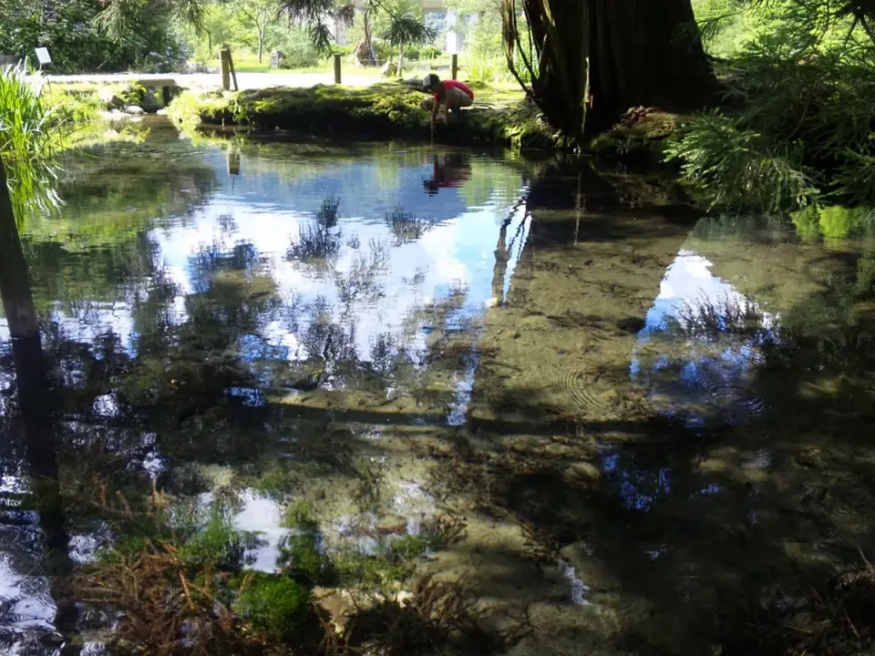
A park in Tanohara centered on Daijagaike Pond and a lone cedar, at the source of the Takatsu River. Discover the landscape where water begins its journey through the town and river basin.
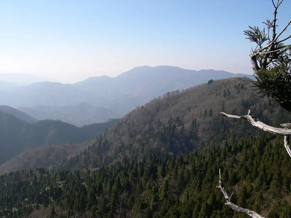
Yoshika, Tsuwano and Masuda meet near the summit of this mountain. Hike for beech forests and summit views. The map point represents the summit, not parking or a trailhead. Hiking equipment and a planned mountain route are necessary.
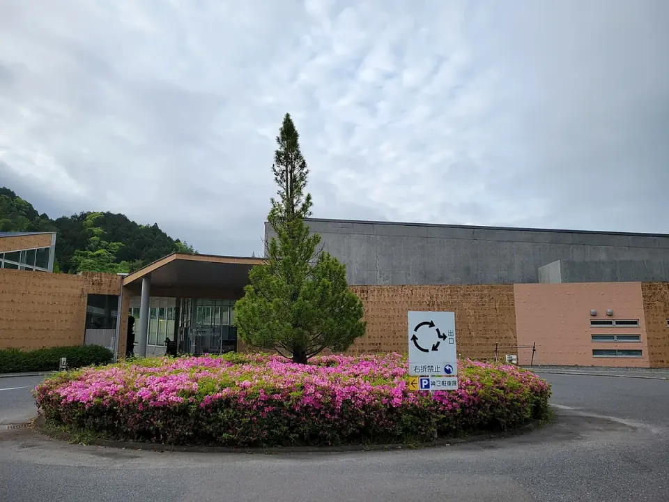
A facility combining hot springs, meals and accommodation in Muikaichi. Consider a break or stay before or after exploring the town.
Approximate one-way times to each arrival point. Driving times vary with breaks and traffic; public transport depends on services and transfers.
About 1 hr 15 min
Chugoku Expressway
Local-road travel to Muikaichi and Yurara is additional
Route and timetable sourcesAbout 1 hr 10 min
Local roads
Route and timetable sourcesAbout 1 hr 55 min
Koeki route, Seiryu Line Takatsugawa bus
Route and timetable sourcesDrive from Muikaichi Interchange and Route 187 to each district. Scheduled buses serve Muikaichi and Kakinoki. Muikaichi Station is the name of a bus stop, not a railway station. Add separate transport for mountain sights such as the terraces.
Check event dates and venues as you plan your visit. This guide features recommended events.
No recommended events are listed for this period yet. Explore the sights and food sections to plan your visit.
Search a longer period for events in Yoshika Town →(Japanese)Guides to nearby areas →Enjoy them between sightseeing stops, and take some home as gifts.
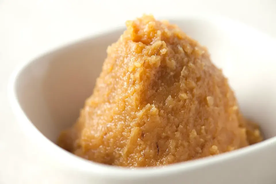
Kakinoki-mura Roadside Station sells local vegetables, handmade miso and other products. Pair a Takatsu riverside break with shopping for ingredients and souvenirs.
Take home: Bring Kakinoki vegetables or handmade miso to your home table. Fresh produce and miso have different storage needs, so ask at the shop before choosing.
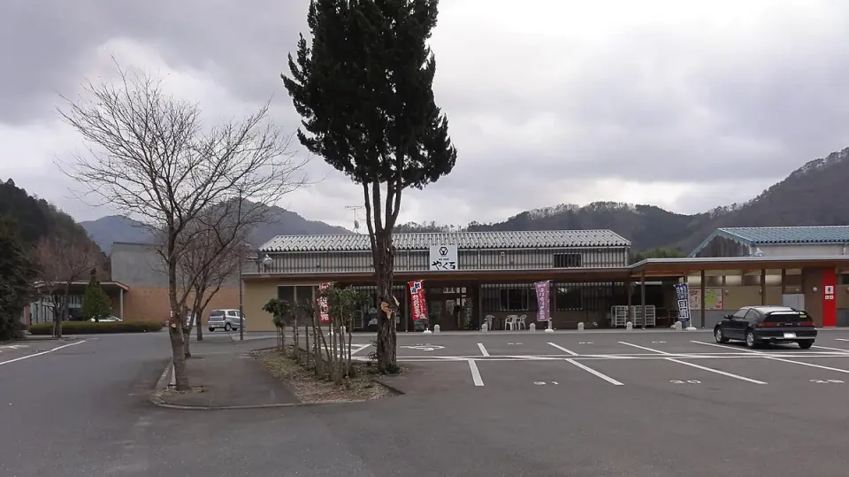
Yurara's restaurant introduces Yoshika rice and handmade tofu using Muikaichi soybeans. Combine dining with local-products shopping at Muikaichi Onsen Roadside Station.
Eat locally: Try local rice and tofu made with Muikaichi soybeans during a hot-spring outing.
Take home: Browse the adjacent roadside station. Check availability and carrying conditions for refrigerated items such as tofu.
For a stay with hot springs and meals, consider Yurara in Muikaichi.
For a stay with hot springs and meals, consider Yurara in Muikaichi. Japanese- and Western-style rooms are offered, with options for solo travelers and families.
For a stay along the Takajiri River, consider Takajirigawa Riverside Log House Village, combining accommodation with the nature of the Azoji mountain range.
For a stay along the Takajiri River, consider Takajirigawa Riverside Log House Village, combining accommodation with the nature of the Azoji mountain range.
Yoshika's hills offer spring flowers, including katakuri lilies in Higuchi and rhododendrons in Sutegouchi. Some areas are privately owned, so enjoy them from the viewing places indicated by the town.
Official event informationEnjoy seasonal scenery such as fresh greenery and autumn leaves along the Takatsu River and on Mount Azoji.
Official event information